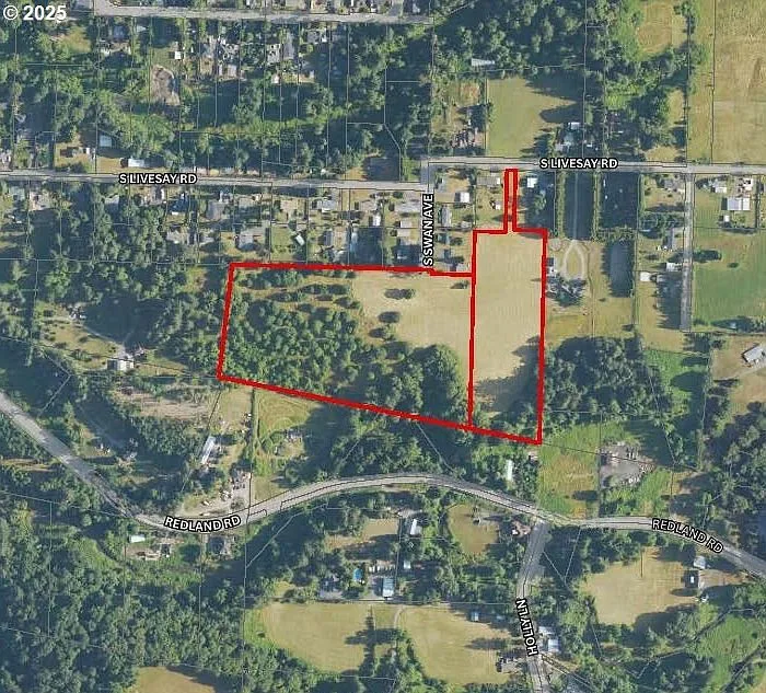
Development potential
What these FU-10 parcels can become.
This page explains the development potential of the two S Livesay Rd parcels in Oregon City, OR: the FU-10 holding zone they sit in today, the annexation path into the city, and the urban designations the Park Place Concept Plan points to upon annexation.
The thesis
FU-10 is a holding zone, not a destiny.
The two parcels on S Livesay Rd hold Clackamas County FU-10 zoning today. FU-10 stands for Future Urbanizable, 10-Acre, a holding district in Clackamas County’s Zoning and Development Ordinance (Section 314). Its purpose is to preserve land the County Comprehensive Plan designates as future urbanizable, keeping it at rural scale until urban services and annexation happen.
Development at urban density requires two connected events: annexation into Oregon City, then a rezone to an urban designation. Under the Park Place Concept Plan, the likely outcome for these parcels is the city’s mixed-density range. That mix is the buyer’s upside, and it is also the thing to verify.
Buyer to verify all information, including future development density.
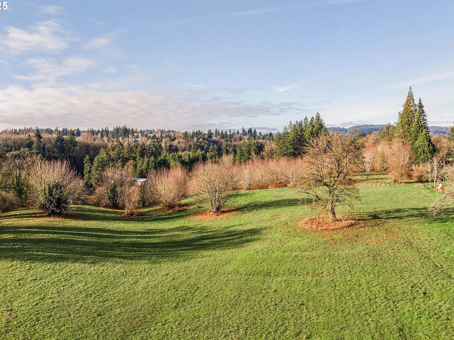
Fig. A · The larger parcel, zoned FU-10 today
Zoning and annexation
Today’s holding zone, and the urban designations ahead.
Park Place sits inside the Portland Metropolitan Urban Growth Boundary but outside Oregon City’s limits. Land here holds county FU-10 zoning until annexation, at which point the city applies its planned urban designations.
Today · FU-10
The holding zone
- Clackamas County Future Urban, 10-acre holding zone
- Generally one dwelling per lot, with a minimum lot size of about 10 acres
- Rural-style uses only until the zone changes
- County jurisdiction applies while the land is unincorporated
Upon annexation
The urban designations
- Low-density residential
- Medium-density residential
- High-density residential
- Mixed-Use Commercial (MUC)
Likely mixed-density outcome per the Park Place Concept Plan. Buyer to verify all information, including future development density.
The annexation path
How the land moves from county to city.
The typical sequence for FU-10 land in Oregon City runs from application to council action to rezone. The city has already done this in the Park Place area, so the process has precedent.
01
Application
The owner or a petitioning party files an annexation request with the city; the county and district service providers weigh in on urban services like water, sewer, and streets.
02
Council action
The Oregon City Commission holds public hearings and votes on the annexation.
03
Rezone
Upon annexation, the property moves out of county FU-10 and into an Oregon City zone, commonly a residential designation such as LR or a mixed-use designation, depending on the concept plan and surrounding context.
Annexation, zoning, and density outcomes depend on the buyer’s specific plan and current regulations.
The plan context
A written municipal framework, already on the record.
In 2002, roughly 500 acres east of Oregon City were brought inside the Portland Metropolitan Urban Growth Boundary. In 2008, Oregon City adopted the Park Place Concept Plan (Legislative File 08-01), organizing the area into two mixed-use neighborhoods, North and South Village, with roughly 1,459 dwelling units anticipated. In January 2025, the city adopted code amendments that add clear and objective standards for implementing the plan.
Oregon City has also approved annexations in the plan area early on, including a roughly 54-acre annexation via Resolution 10-02 in February 2010, and the pattern has continued as the area has built out.
2008
Park Place Concept Plan adopted (LF 08-01)
~500
Acres of plan territory east of Oregon City
1,459
Dwelling units anticipated across the plan area
54
Acres in the early annexation via Resolution 10-02
Buyer checklist
What to verify
- Confirm current zoning and comprehensive plan designations directly with Clackamas County and Oregon City.
- Ask the city planning department which concept plan provisions apply to this specific parcel.
- Confirm sewer, water, and fire service timelines for the area with the relevant districts.
- Get the tax map parcel numbers and review the exact acreage of each lot.
- Verify whether any annexation or development applications already touch adjacent properties.
Sources
- Clackamas County ZDO 314 (FU-10)
- Clackamas County ZDO 316
- Park Place Concept Plan, City of Oregon City
This page is informational only and is not legal or planning advice. Buyer to verify all information.
Walk the entitlement path with Danielle.
Danielle Bade will walk you through the plan text, the parcel maps, and the city and county staff contacts who administer it. Call (503) 522-6042 or email Danielle@BadeRealEstate.com.