The neighborhood brief
Park Place, and the city growing around it.
This page covers the context a buyer actually needs: what the Park Place Concept Plan permits, how far the properties sit from Portland and Oregon City’s core, what schools serve the area, and what daily life looks like nearby.
The city
Oregon City, the first incorporated city west of the Rockies.
Founded in 1829 and incorporated in 1844, Oregon City anchors Clackamas County at the base of Willamette Falls, the largest waterfall in Oregon by volume and the second-largest in the United States. It remains the county seat and a regional employment and services hub:
1844
Incorporated; first city west of the Rockies
38k+
Residents, per 2025 estimates
40 ft
Willamette Falls, largest in Oregon
Sources: City of Oregon City · Oregon Encyclopedia · US Census
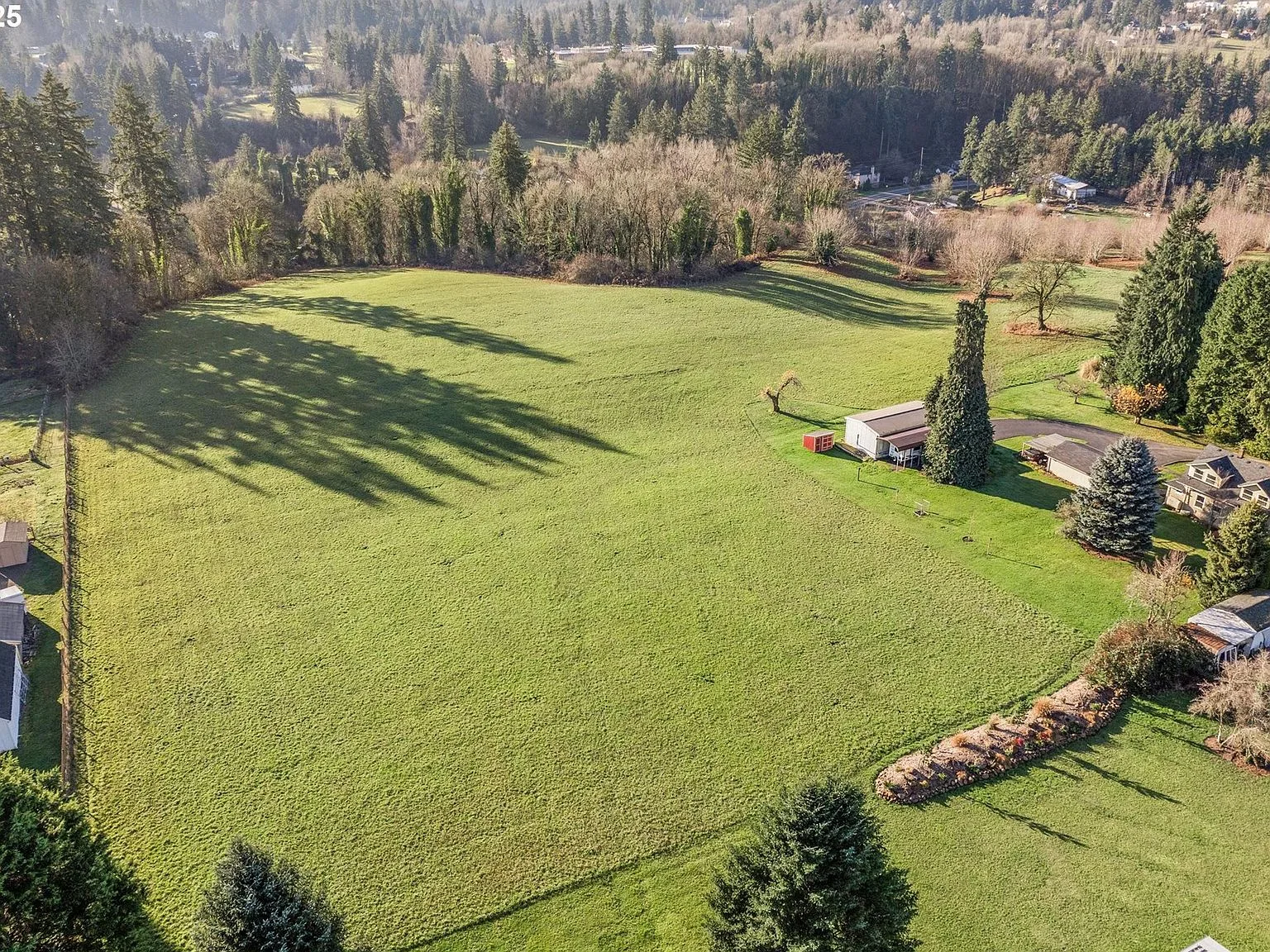
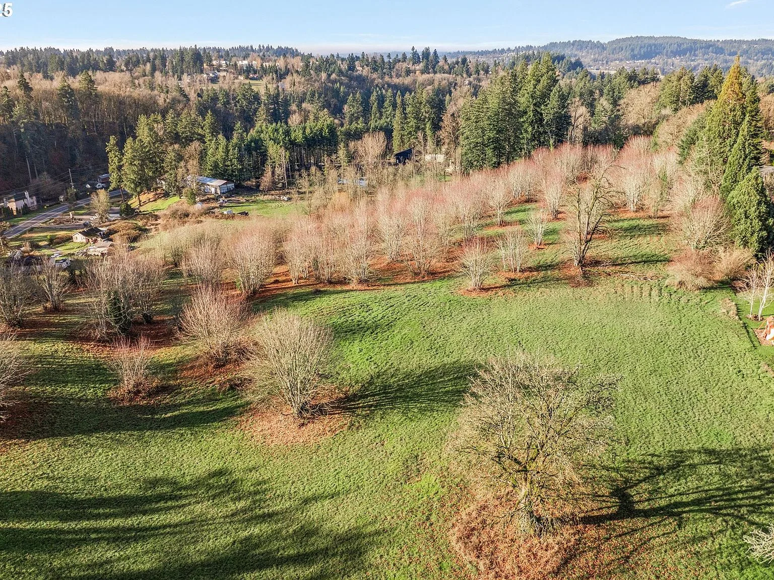
Fig. A · The parcels, looking eastward across Park Place
The plan
The Park Place Concept Plan, in plain terms.
In 2002, roughly 500 acres east of Oregon City were brought inside the Portland Metropolitan Urban Growth Boundary. In 2008, Oregon City adopted the Park Place Concept Plan (Legislative File 08-01) to guide the area’s future development. The plan organizes the area into two mixed-use neighborhoods, North and South Village, with an anticipated total of about 1,459 dwelling units plus commercial space.
For a land buyer, the plan matters because it is a written commitment: the city has already laid out street connections, density ranges, and commercial nodes for this corridor. Land inside the plan area becomes more predictable the closer development gets, and annexations are already occurring across the area.
2002
Into the UGB
Park Place brought inside the Portland Metropolitan Urban Growth Boundary.
2008
Plan adopted
Oregon City adopts the concept plan, Legislative File 08-01.
2025
Code amendments
Clear and objective standards adopted to implement the plan.
Now
Buildout
Annexations and the first large communities take shape nearby.
Getting around
Close to Portland. Closer to everything else.
The parcels sit roughly 13-14 miles from downtown Portland. Off-peak, the drive runs about 28-30 minutes; during the morning and evening rush, budget up to an hour, the standard reality of the Portland metro.
| Destination | Distance | Time |
|---|---|---|
| Downtown Portland 45-60 min in peak traffic | 13-14 mi | 28-30 min off-peak |
| I-205 / OR 99E Highway access from the Park Place area | Main corridors | Willamette River crossing |
| Clackamas Town Center Regional retail and services | ~5 mi | 10-15 min by car |
Travel times are estimates from public routing sources and vary with traffic. Source
Schools
Oregon City School District.
The area is served by Oregon City School District 62, the city’s PK-12 public district, whose single high school is Oregon City High School. Address-specific elementary and middle school assignments for the S Livesay Rd parcels should be confirmed through the district’s boundary maps, since annexation and new development can shift attendance areas.
On request
School assignment, service availability, and annexation timing all depend on the buyer’s specific plan and timeline. Danielle can pull the current tax map, district boundary data, and city planning staff contacts for your due diligence.
Ask about itNearby life
Coffee, food, and river air.
Real businesses a short drive from the parcels, in downtown Oregon City and along the Willamette. Visit them during your site visit.
Food and coffee
- Watershed Cafe & Bistro Neighborhood staple on Main St
- Black Ink Coffee Local roaster on Main St
- Coffee Rush Drive-through coffee at 900 Main St
- Singer Hill Cafe Historic block in downtown Oregon City
- Ranee's on Main Restaurant and bar on Main St
- McMenamins Oregon City Historic hotel, pub, and theater
Put the plan in front of your deal team.
The concept plan, tax maps, district data, and city contacts are all accessible. Danielle Bade will walk you through the annexation path for these specific parcels at (503) 522-6042.